FREE SHIPPING ON ORDERS OVER $50
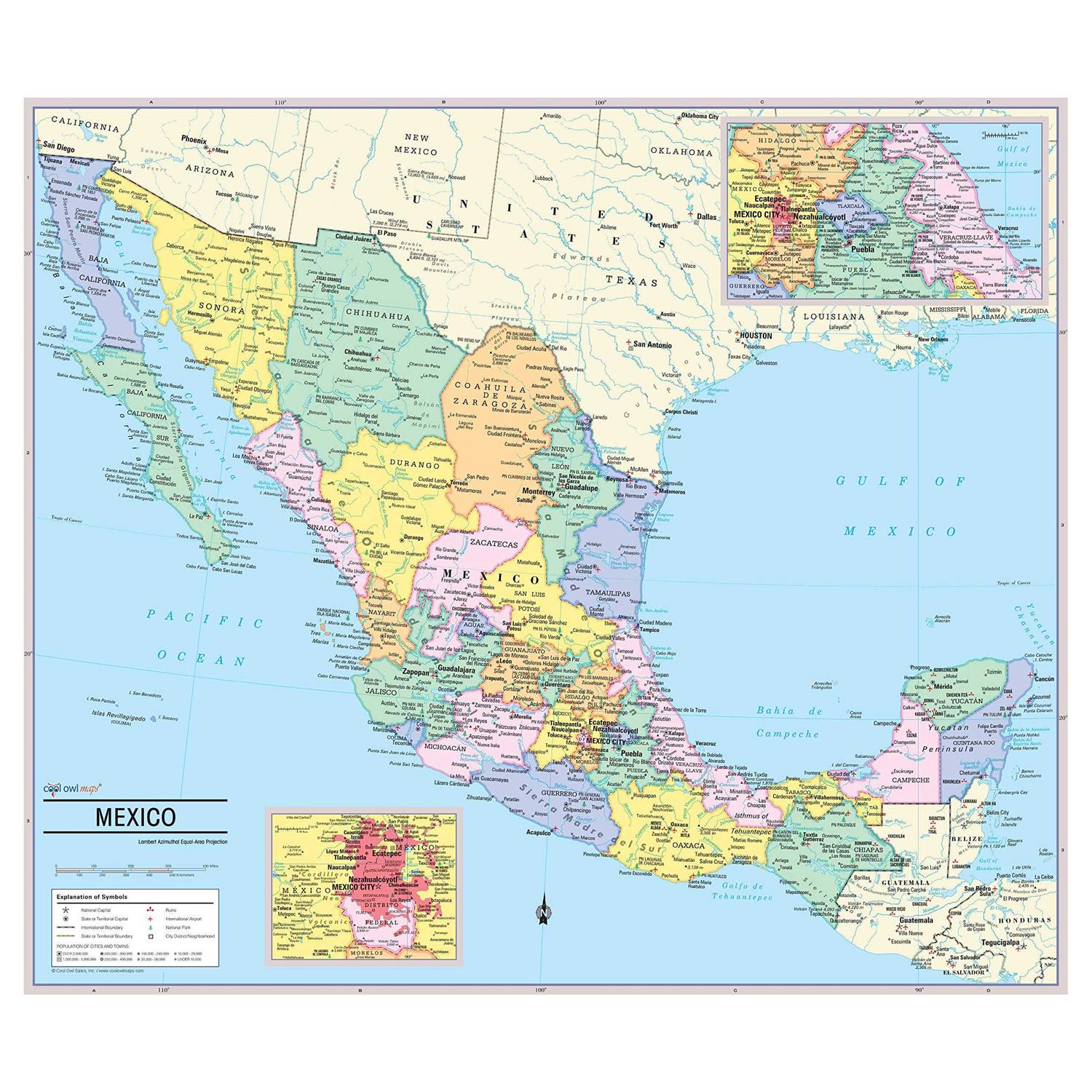
Cool Owl Maps Mexico Wall Map Poster
$9.99
Cool Owl Maps Mexico Wall Map Poster – Rolled 28″x24″ (Paper)
- Mexico State colored with banded boundaries
- Ruins, Natioanl Parks, International Airports
- Mexico states with their capitals
- Made/Printed in U.S.A., Updated for 2020
State colored with banded boundaries
States are colored with banded boundaries
Unique, full color, and detailed this political map of “Mexico” features geographic detail and accuracy. The map shows Mexico state boundaries, place names, a selection of Ruins, National Parks and International Airports, bodies of water, and more. Insets maps show the Mexico City metro area and the region between Mexico City and Vera Cruz. All current country information. Paper 28W”x24H”. Larger sizes available.
Be the first to review “Cool Owl Maps Mexico Wall Map Poster”
Order Processing: After your payment is authorized and verified, we will start processing your order and this process can take from 1 to 2 business days, so please be patient with us. If we are unable to process your order due to inaccurate or incomplete payment or incorrect address information, your order processing may be delayed.
Carrier: UPS/FedEx/USPS. Delivery Timescale: More than 90% of orders arrive in 10 business days after despatch.
FREE RETURNS on all orders!
The following conditions must be met:
1. Items must be returned within 30 days after the purchase date.
2. Items must be unworn, undamaged and in original packaging.







Reviews
There are no reviews yet.